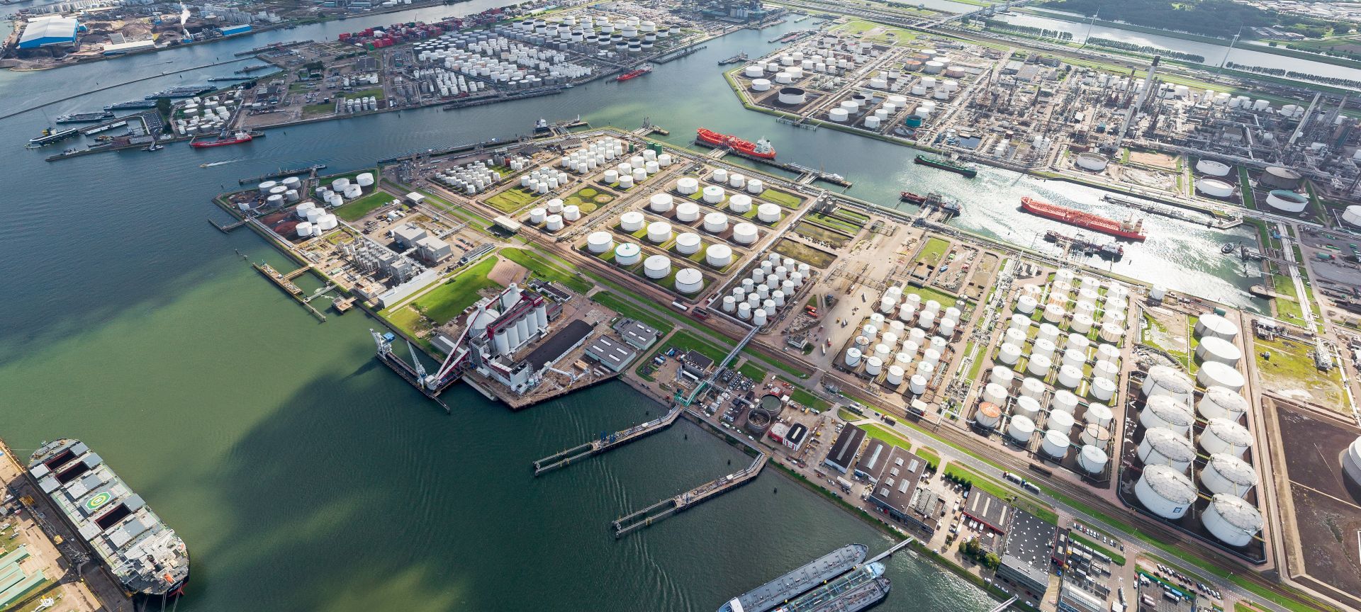
The Port of Rotterdam sets new standards in flood resilience

The challenge: preparing for the impact of rising seas
The Port of Rotterdam has been developed on reclaimed land and at elevated height compared to the surrounding areas over the past decades. But, as climate change elevates sea levels, the probability of flooding of the port is rising. In fact, it is predicted that seas will rise 35-85cm by 2100 when compared to 1990 levels.The Port of Rotterdam is home to significant industrial and economic activity, so a flood event could prove hugely damaging to the area’s citizens, businesses, and valuable infrastructure. It is also vital that its investors continue to perceive it as safe, accessible, and attractive.
In response, the Port of Rotterdam sought help from Royal HaskoningDHV to assess its flood vulnerability, form adaptation strategies, and raise awareness of the possible risks, as well as detail measures that can be taken to drive flood resilience.
The solution: flood scenario mapping and analysis
As part of its collaborative vision for a safer future, the Port of Rotterdam rallied support from businesses and government agencies to ensure shared ownership of the project, improving awareness and engagement.Together with the Port of Rotterdam and its stakeholders, Royal HaskoningDHV assessed the port’s existing flood risk and potential increase in risk for the years 2050 and 2100.
To help our client identify the highest-risk areas, we assessed the probability of loss of life and potential economic and environmental damages. For this we created detailed flood models using land use maps, historical event data, and geospatial exposure data.
We also calculated indirect damages due to flooding, such as disruption to local productivity, employment, and travel.
Having mapped and calculated potential flood risk scenarios as far ahead as 2100 – with the capability to look at a safety level as far ahead as 10,000 years – the Port of Rotterdam and the City of Rotterdam could now explore acceptable risk levels and approve the best measures to minimise potential loss.
The result: an effective, widely accepted flood risk strategy
To build the necessary adaptation strategies, we engaged with our client and its stakeholders in an open dialogue, assessing cost-benefits and the criteria required to make it happen.Through close collaboration and state-of-the-art flood risk analysis, we formulated a strategy to implement measures in Rotterdam’s port areas and combined structural and non-structural measures for adaptive flood protection across the port area.
What’s more, we performed detailed follow-up studies into the preliminary flood defence designs and used GFRT to empower our client with detailed port models it needs to inform strategic and investment decision making and enable future projects.
Most importantly, the Port of Rotterdam can now retain its coveted status as one of the world’s safest ports.
Want to know moreor got a question?
Contact our Climate Resilience experts!
Assess your climate risks with Twinn
You may understand how your business impacts the climate. But do you understand how climate change impacts your processes and operations?Twinn’s free Climate Risk Quick Scan gives you actionable insights on how natural hazards and severe weather affect your organisation’s physical assets worldwide, today and in the future.


