FLASH flood forecast and warning service
Fast, accurate, and reliable service for your catchment
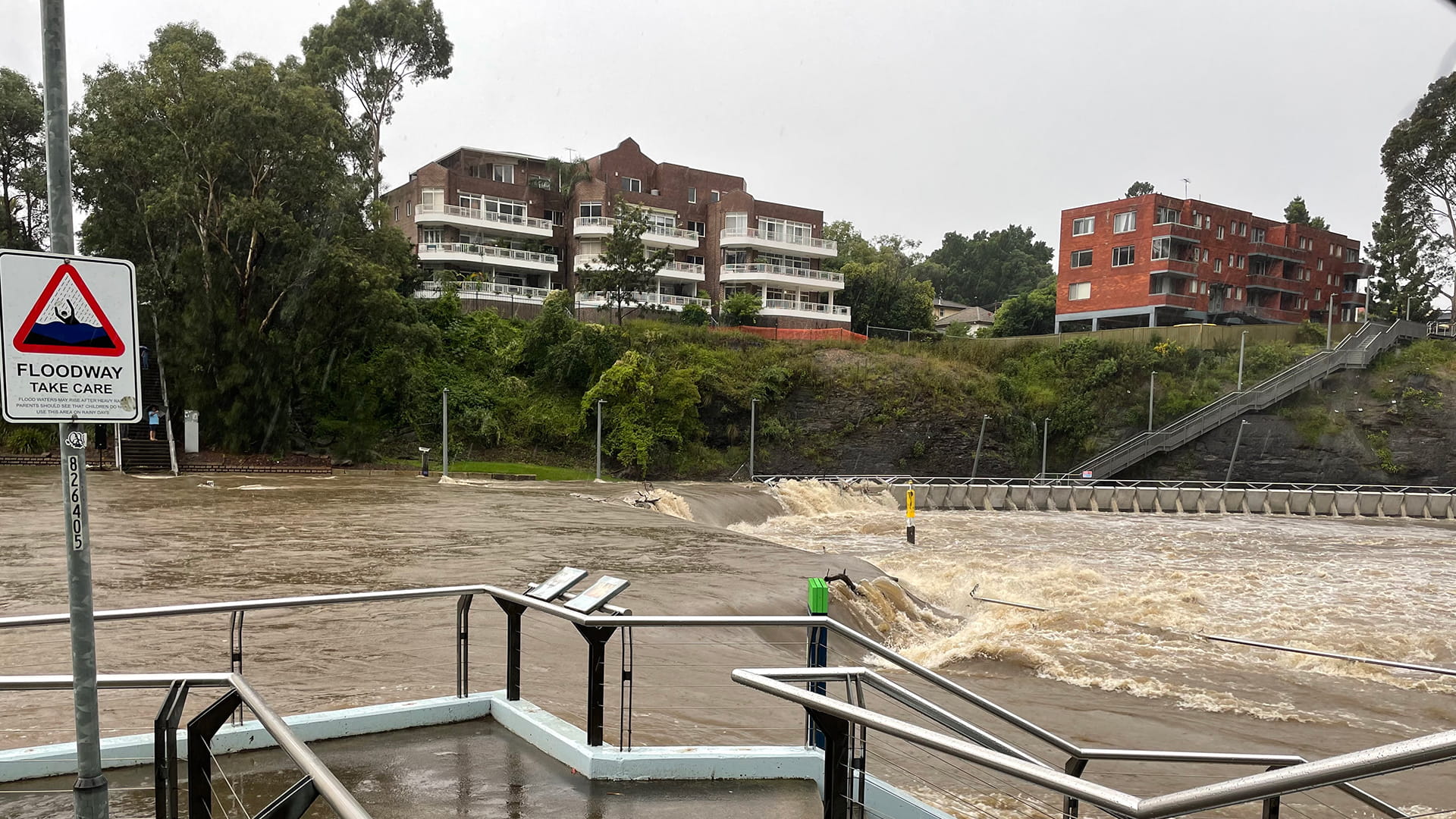
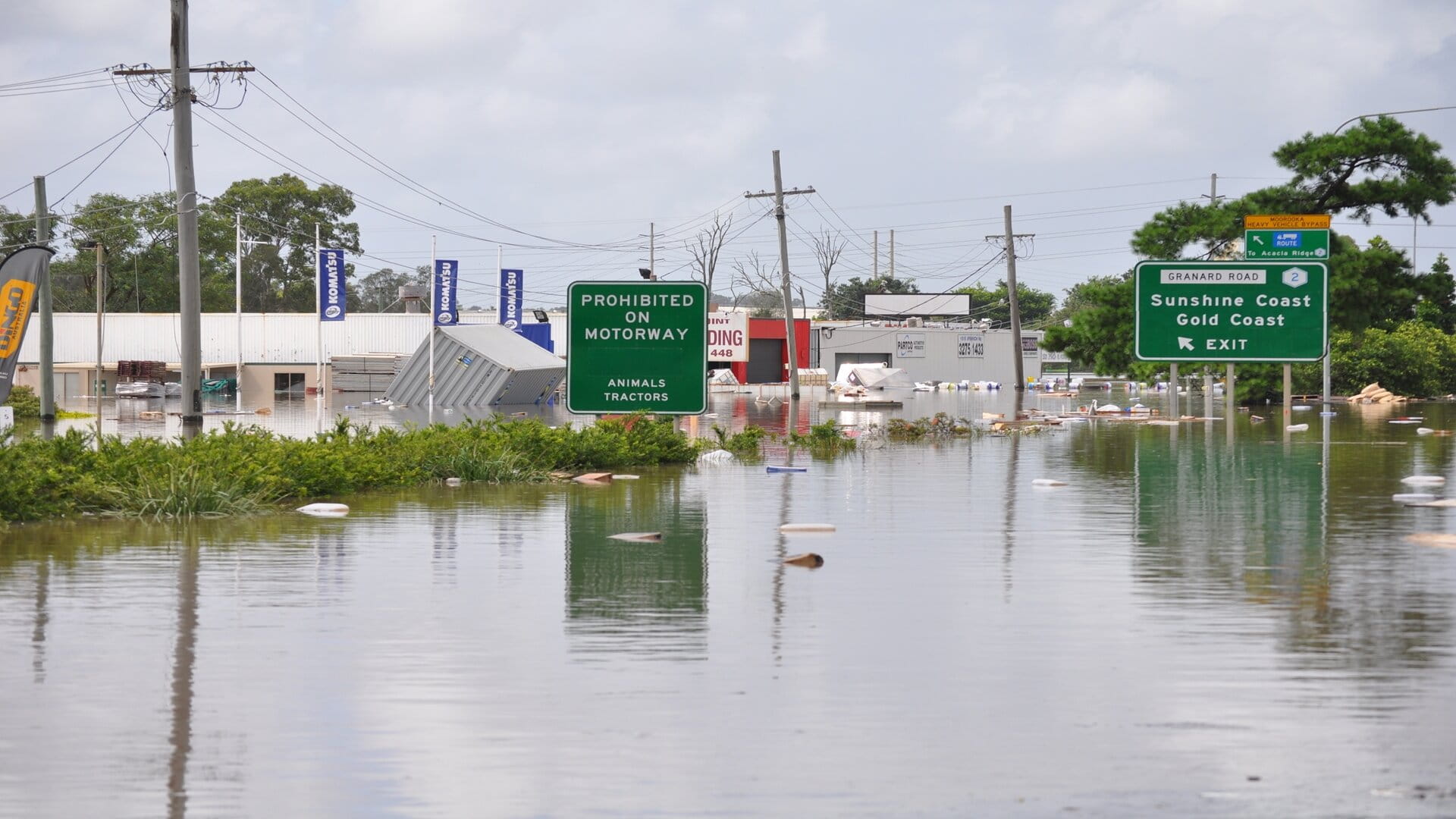
Urbanisation and climate change are combining to increase the number of people, assets, communities, and businesses at risk from catastrophic flash floods. To build resilience, governments and private organisations need faster, more accurate early warning systems that provide a greater lead time before an extreme flooding event.
That's why we developed FLASH. It’s a cloud-based tool that lets you access real-time flood information from anywhere and alert others of potential danger up to 12 hours in advance.
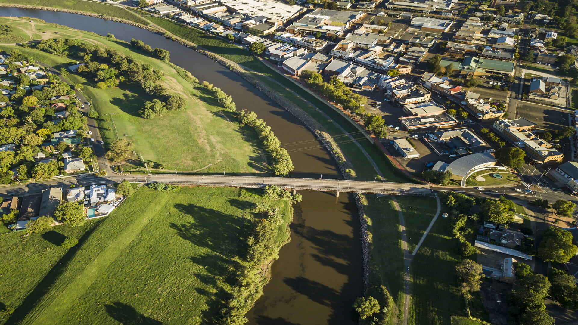
Proven in Australia’s Hunter Valley and the Parramatta River catchment, FLASH gives you reliable results in minutes when other models take hours. As a result, you have more time to take effective action and make informed decisions when it comes to orders to evacuate and road closures.
And because it is available on a simple subscription basis, using existing models and delivered through the cloud, you can implement FLASH quickly and effectively.
Get a free demo
Discover the benefits of FLASH
Sophisticated modelling with reliable data
Access from any device, anywhere
Simple annual subscription
API connection to your own systems
User-friendly dashboard
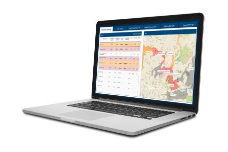
FLASH provides a user-friendly dashboard which presents the data in a clear and visual way. For system administrators, FLASH provides an intuitive interface.FLASH: service levels & features
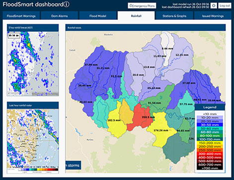
Basic
FLASH Rainfall: Live rainfall forecasts, catchment accumulation, and tailored warning service
FLASH flood warning service: Email and SMS based on rainfall forecast (up to 15 individually tailored messages)
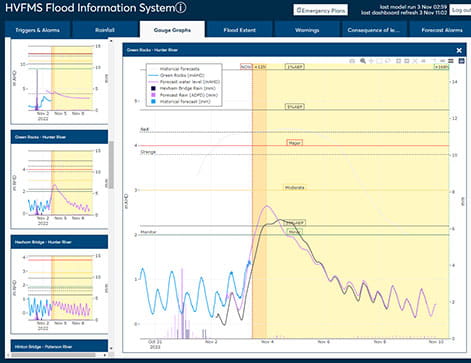
Plus
FLASH Monitoring: Basic service plus additional water level and rainfall gauges from up to three different data providers, all made available within the FLASH dashboard
FLASH flood warning services: Basic service plus email and SMS based on triggers for water level gauges (up to 20 individually tailored warning messages)
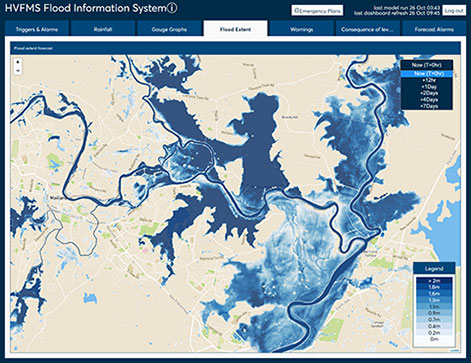
Premium
FLASH Flood Forecasting: Plus service and advanced flood forecasting with operational flood morel prediction based on real-time operational modelling with TUFLOW or 3DI
FLASH flood warning services: Plus service, and email and SMS based on triggers for model predictions (up to 20 individually tailored warning messages)
What makes FLASH unique?
Accurate flood warnings begin with reliable rainfall and water level data. FLASH uses real-time data from official sources including Australia’s Bureau of Meteorology, as well as radar-based forecasting and a numerical weather prediction algorithm, to apply a sophisticated climate model.
The data feeds a rapid, 2D hydrodynamic flood model such as TUFLOW, producing extremely fast flood forecast results, which can be used to create flood maps with accurate flood depths within minutes after intense rainfall is forecast.
FLASH has a user-friendly dashboard that includes rainfall and water level gauges, with interactive real-time and predicted flood maps. Through the portal you can select locations that trigger a notification when a predefined water level is exceeded and create a customised warning for parts of the catchment.
Lizard, its integrated cloud-based system, lets you use the data however suites you best. You can use its APIs to connect business information or GIS tools. And being cloud-based software, the dashboard is accessible from anywhere.
Learn more
Want to know moreor got a question?
Contact our Climate Resilience experts!


